Vantage points map
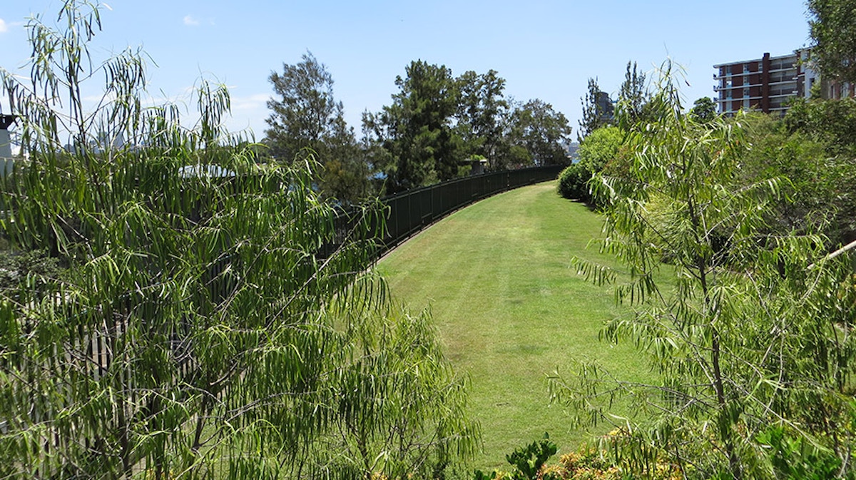
Embarkation Park
- Free
- Alcohol prohibited
- Toilets
- Accessible
- Potts Point
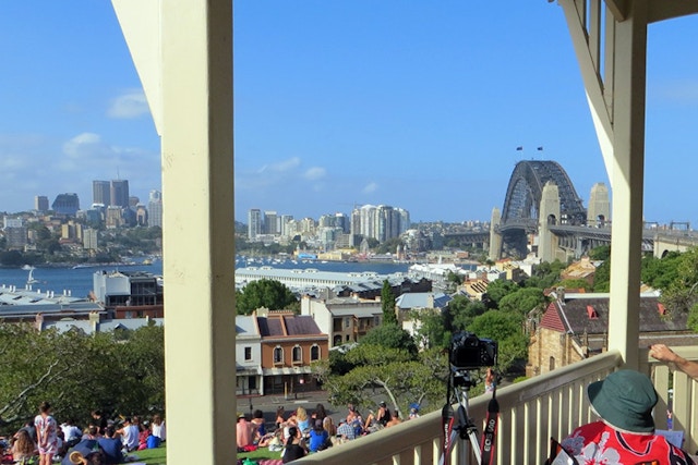
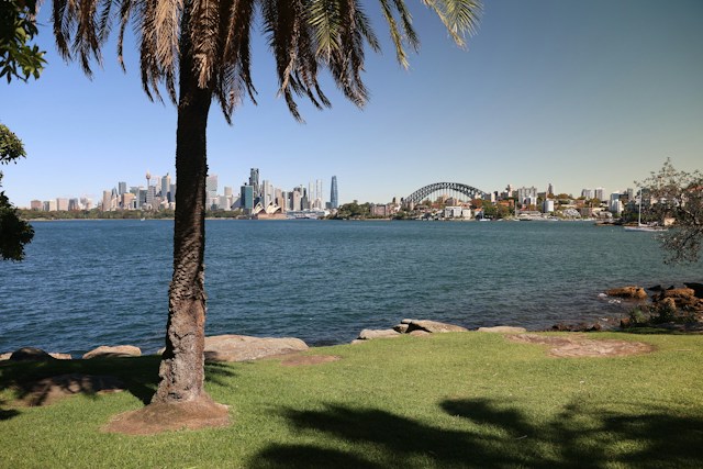
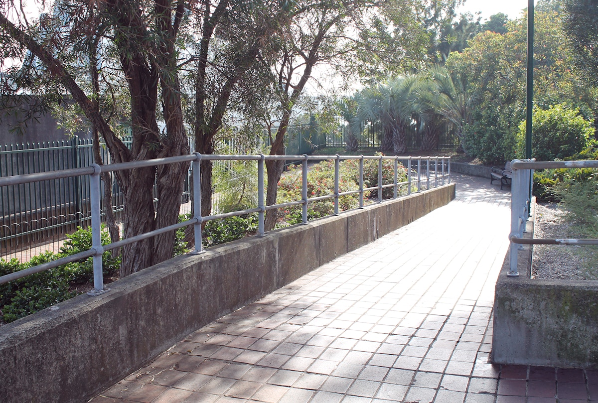
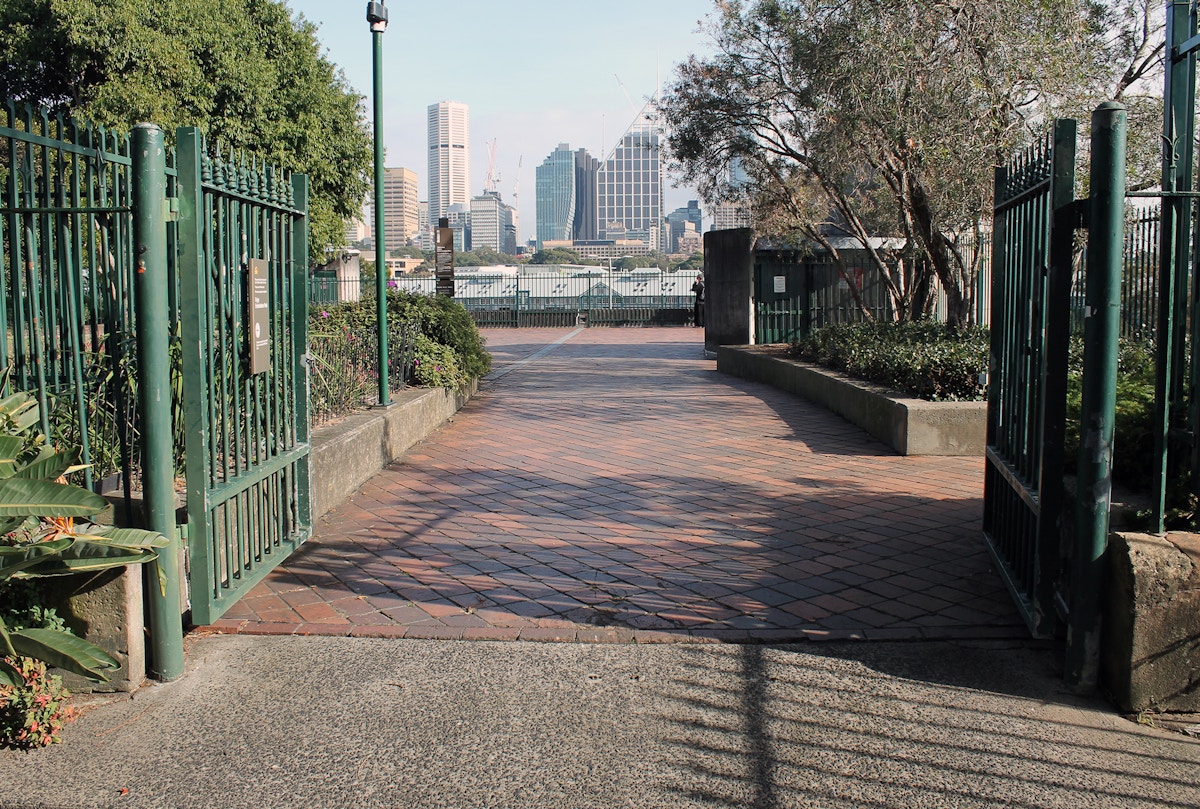
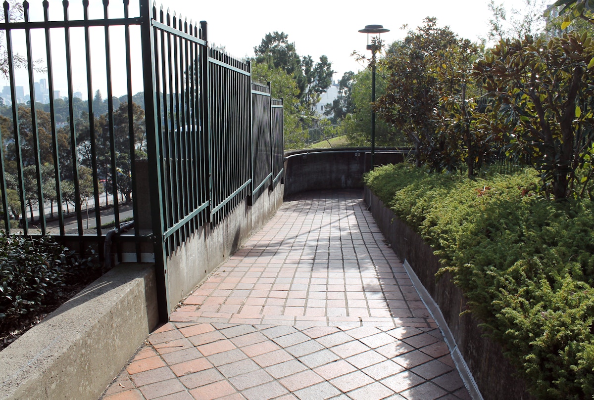
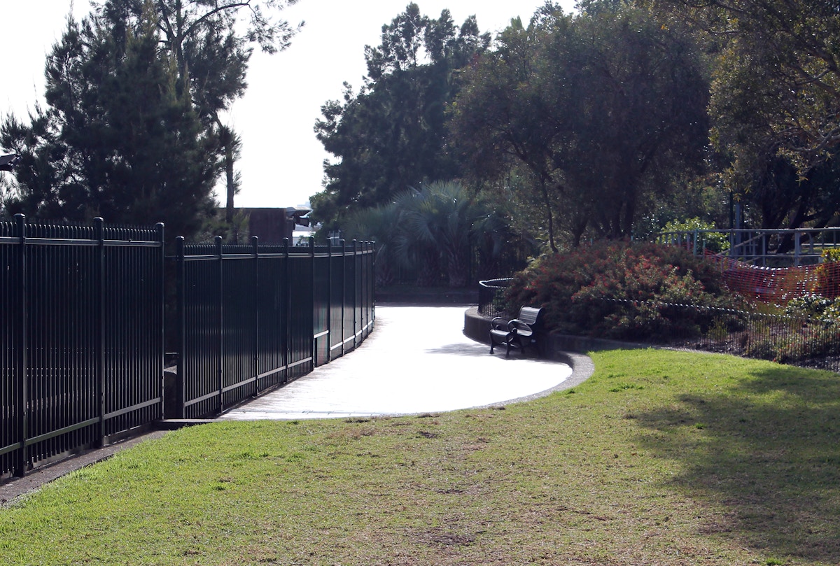
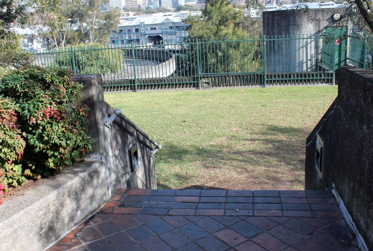
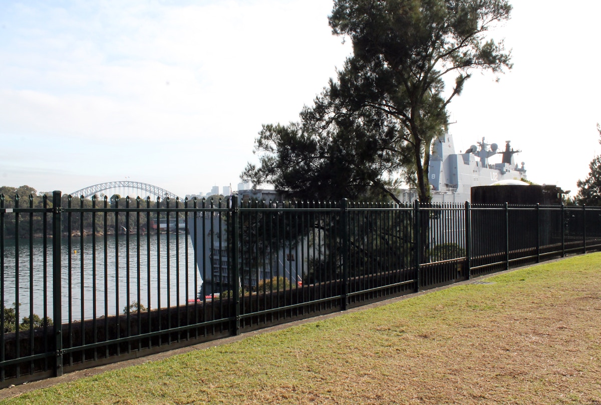
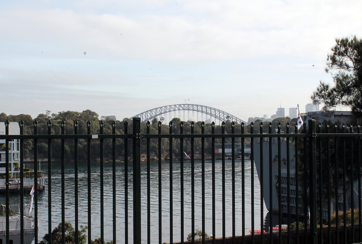
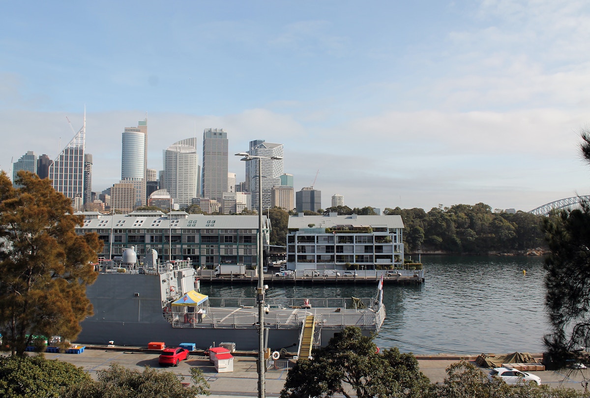
Limited views of the Sydney Harbour Bridge. The park has many trees so the viewing corridors are narrow.
1 of 9
Admission, hours and capacity
Admission
No ticket required.
You do not need to book or register to enter.
Hours
4pm – 1am
Capacity
Holds up to 1,200 people
About the Site
Food and beverages
No food for sale but you can bring your own
Alcohol
Alcohol isn’t allowed here
Toilets
Toilets are available, including accessible facilities
Drinking water
Drinking water stations are available
Restrictions
- No glass
- No drones
- No camping
- No pets
- No busking
- No re-entry
- No BYO alcohol
- Partial fireworks views
- Sunshades must be taken down at sunset
Entry conditions
- Bag checks on entry
Accessibility
- Accessible entrance and continuous path of travel
Location & Access
Victoria Street, Potts Point
Open in Google MapsTransport options
Getting here
- Roads around the vantage point in Potts Point will close from 6am with further closures from 7pm. Arrive early
- See the road closure map and real-time traffic updates at livetraffic.com
Train
Trains operate regularly to Kings Cross within short walking distance.
Bus
Buses operate regularly to Kings Cross within short walking distance.
Getting home
- Roads remain closed until around 4am. Catch trains or buses home from Kings Cross nearby. Follow directions of NSW Police and staff.
- Pedestrian diversions are in place on New Year’s Eve. The way you arrive, may be different to how you get home. Be prepared for a longer walk to transport hubs.
- See the Getting home from Sydney CBD area map.
Plan your night
Fireworks viewing guide
What you need to know to enjoy the celebration harbourside.